Land Surveyor Tools: Things That Make The Process Easy
A land surveyor in Colorado uses much different equipment to ensure the project is done correctly. When a land survey is done, much information is to be given to the client. They depend on their surveyor for the right information because they won’t be able to recheck it in any way.
Another reason to do it right is that all the data needs to be documented. So, they use several different tools to ensure no errors are made. The tools depend on the type of land survey that is going to take place. They not just use high-tech equipment but also rely on good old-fashioned mathematics to create maps and measurements of the lands. Some of those tools are discussed in the following article.
3D Scanner
The most advanced land survey tool in recent times is the 3D scanner. This device can analyze an object or the environment and accumulate shape-related data. These data are then used to build a 3D model. The device looks like those cameras that have a cone-like field of view. They can only get information concerning obscured surfaces.
The biggest difference between the camera and the scanner is that while the camera has color information about the object, the scanner collects distant information about an object in view. The picture you get from a 3D scanner tells you the distance the thing is in the field of view. So, to get a whole 3D model of any place, you have to take pictures from many different viewpoints.
Theodolite
While doing a land survey in Colorado, they have to measure angles in many different positions, like vertical and horizontal planes. Theodolite is the best tool for such measurement, which is used widely by almost all surveyors. Though this precision tool is now primarily found in surveying equipment, it was also used in many other fields like rocket launch and meteorology.
The device is an adjustable telescope that is mounted on two perpendicular axes. The side mounted horizontally is called the trunnion axis, while the one placed vertically is called the zenith axis. Nowadays, the tool has become very accurate and can measure an angle by its milliradian.
Level
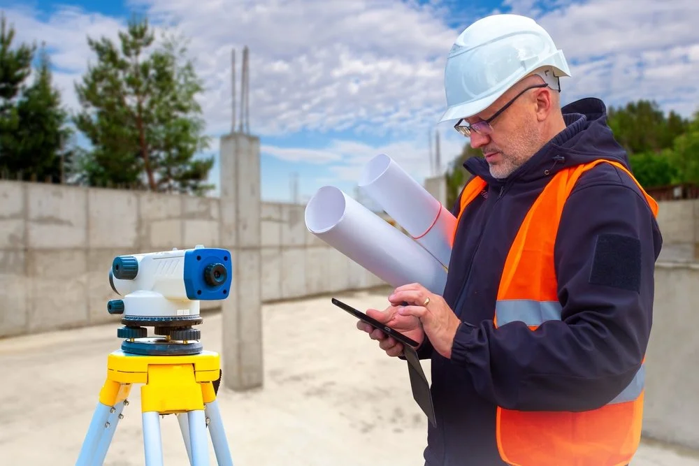
This instrument is placed on a tripod and is used to see the elevation of different objects on the same horizontal plane. The most commonly used level types are digital electronic level and automatic level. The tool is placed on a tripod and can automatically level itself, so the land survey surveyor doesn’t need to worry about leveling it. This makes using the equipment very easy, and the setup time is faster than other tools.
Contact Us For Your Next Project
At Carroll Surveying and Mapping, we have surveyors who believe in quality, precision, and efficiency. We have been in this industry for 20 years and only provide the best possible work for our clients. Call us to schedule your bookings today.

