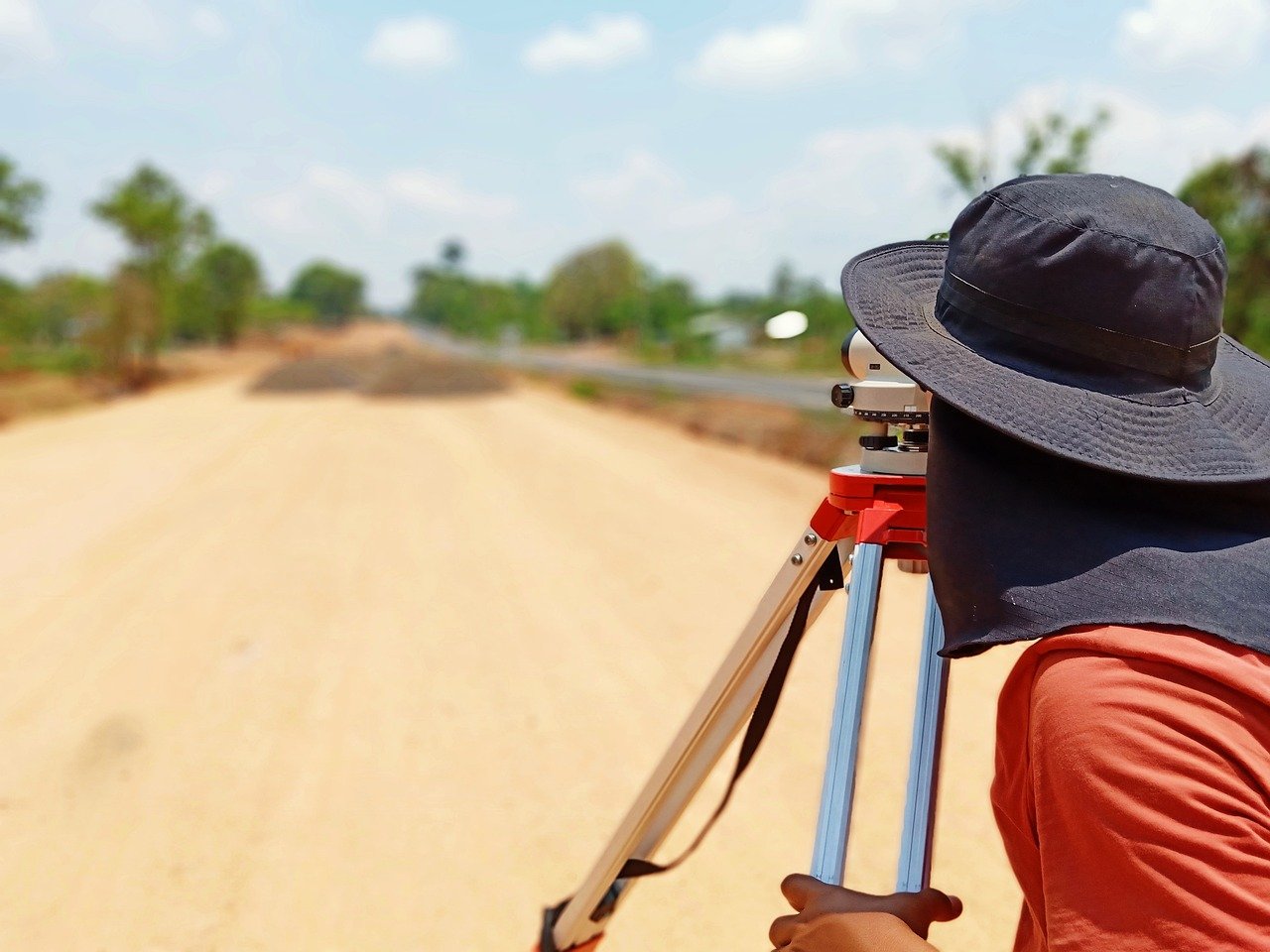
Land Surveys: A Complete Guide for Accurate Mapping
For centuries, land ownership has been a symbol of power and security.
Whether you own a small plot of land or a vast estate, it's essential to know your property's boundaries, topography and structures.
This knowledge can help you avoid disputes with neighbors, plan construction projects and make informed decisions about your land.
That's where the art of surveying comes in.
Surveying is the practice of accurately measuring and mapping land. This article will explore everything you need to know about surveying, from its history to its modern-day applications. A land survey measures and maps the physical features of a piece of land, including boundaries, topography and structures. Here's everything you need to know about:
What Are the Purposes of Land Survey?
Surveying serves various purposes, including:
➔ Establishing Property Boundaries: A surveyor can help determine the exact boundaries of a piece of land, ensuring that you clearly understand what you own.
➔ Resolving Property Disputes: If there's a disagreement about property boundaries, a survey can provide an objective assessment that can help resolve the issue.
➔ Planning Construction Projects: Surveying helps determine the best location for buildings, roads and other structures.
➔ Mapping Topography: Surveyors can create maps showing the land's elevation, contours and other physical features.
What Are the Requirements for a Survey?
To perform a survey, a surveyor must follow certain requirements:
➢ Accurate Measuring Tools: To ensure accurate measurements, a surveyor must have precise equipment such as GPS receivers, total stations and digital levels.
➢ Understanding of Land Laws: The surveyor must know the laws and regulations governing land ownership, easements and other property-related issues.
➢ Knowledge of Local Geography: A land surveyor should thoroughly understand the local geography and geology to perform an accurate survey.
What Are the Steps for Conducting a Survey?
A survey involves several steps, including:
Research
The surveyor researches the property's history, including deeds, plats and other legal documents.
Fieldwork
These professionals visit the property to measure, mark boundaries and locate physical features.
Data Analysis
They process the data collected in the field to create maps, drawings and other documents.
Reporting
The surveyor provides a report that includes the survey results, including any identified discrepancies or issues.
What Tools Do Surveyors Use?
Surveyors use various tools to measure and map the land, including:
● GPS Receivers: These devices use satellite signals to determine precise locations and distances.
● Total Stations: Total stations combine electronic distance and angle measurements to provide accurate measurements.
● Digital Levels: Digital levels use electronic sensors to measure elevation and slopes.
What Benefits Do You Get as a Landowner?
If you're a landowner, hiring a surveyor can provide numerous benefits, such as:
Clear Understanding of Property Boundaries
A survey can help you understand where your property begins and ends, reducing the risk of disputes with neighbors.
Accurate Property Assessments
A survey can accurately assess your property's value, which can be helpful when selling or buying.
Better Planning for Construction Projects
A survey can help you plan construction projects more efficiently by identifying the best locations for buildings and other structures.
What Can Be the Cost for a Surveyor in Colorado or Oklahoma?
The cost of a land survey in Colorado or Oklahoma can vary depending on several factors, such as:
Property Size: Larger properties generally require more time and resources to survey so they will cost more.
Terrain: Properties with terrain, like steep slopes or rocky areas, may be more difficult to survey, resulting in higher costs.
The Complexity of the Survey: Surveys that involve complex boundaries or multiple structures will require more time and effort, leading to higher costs.
Start Mapping Your Land Today with Carroll Surveying and Mapping
If you're a landowner in Oklahoma or Colorado, get your property surveyed immediately.
The benefits of knowing your property's exact boundaries, topography and structures are immeasurable.
Whether you're planning to build on your land, selling or buying or want a clear understanding of your property, Carroll Surveying and Mapping can help.
With over 20 years of experience in the industry, our team of expert surveyors has the knowledge and equipment necessary to provide accurate, reliable and timely land surveying services. From establishing property boundaries to resolving disputes and planning construction projects, we can help you make informed decisions about your land.
So why wait? Contact us today to schedule your land survey in Oklahoma or Colorado and get the information you need to make the most out of your property. Our team is ready to help you every step of the way, providing personalized and professional service that you can trust. Get your survey today and enjoy the peace of mind of knowing your property inside and out.

