Raise Your Standards: Opt for Drone Surveying
Nowadays, experts heavily use drones in the mapping and surveying industry. They can be used in surveying land, 3D mapping, topographic surveying and photogrammetry by flying above the ground.
Drones have undoubtedly been successfully integrated into the surveying field because of their ability to capture data quickly. Whether you are a drone enthusiast or work in a drone survey company, let’s dive into this article to learn more about the incredible application of drones.
What Is a Drone Survey?
Generally, experts measure the position and distance between two pints through surveying. People use this critical information while dealing with property boundaries, maintaining infrastructure or during site planning. The same goes for drone surveying - you must follow those basic principles, but instead of other tools, you need to use a drone to gather all the data.
Why Do Survey Companies Use Drones Instead of Traditional Methods?
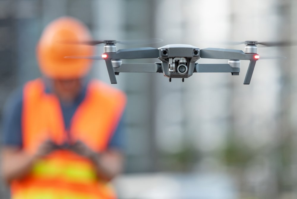
When it comes to surveying challenging terrain, there is no need to be present there physically. Operators can access the location and measure all the points according to requirements. The traditional method needs preparation, planning, and meticulous measurement, but drones can gather all the data in shorter timeframes.
How Do Drones Collect Information?
Drones collect all information with the help of Geographic Information Systems. Experts use them for mapping out a particular location. Though GIS is the primary source of collecting data, experts can also include other collection tools in the drone.
In the past, they only used to capture data but could not transmit them. But thanks to modern technology, drones can share data in real-time. The experts can turn all the data into actionable information through GIS technology during surveying.
What Type of Data Can You Get With Drone Surveying?
2D orthomosaic map
3D orthomosaic map
3D models
Thermal map
LiDAR point cloud
Multispectral map
How Accurate Information Does a Drone Survey Company Provide?
If accuracy is your main concern, then you are in the right place! Drone surveying is the only thing that can provide accurate information. Mostly, you can expect drone surveys to come within two centimeters of the location.
Getting accurate results for your project is the ultimate benefit of hiring a drone survey company. Remember that the quality of the camera, the kind of drone, ground cover and flight height can influence the survey results.
From Eye Level to Sky Level
We hope you have understood how much drones can increase surveying potential. This device helps a drone survey company to reach new heights in terms of safety, speed and ROI they can achieve. However, contact us at Carroll Surveying and Mapping to get any land surveying service.