Map Terrain: Comprehensive Guide To Contouring Techniques
Unlocking the secrets of the Earth's surface is a task of both art and science. A land filled with hills, valleys and uneven landscapes poses a challenge that only specialized techniques can overcome. Among these, contouring stands out as a dynamic, invaluable tool. Enter the world of the topographic surveyor, a profession that's not only about mapping the land but decoding the stories and practical applications hidden in every curve and line. This complex and intriguing field is about to unfold, revealing the intricacies of contour surveying.
Understanding Contour Surveys: A Closer Look
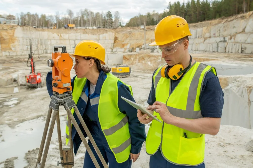
A contour survey, often conducted by an efficient topographic surveyor, provides a three-dimensional view of the terrain. It's like painting a picture of the Earth's surface by connecting points of equal height with lines called contours. The following details are essential to understand this complex process:
Contour Lines: They are imaginary lines connecting points of equal elevation, visually representing the terrain's shape.
Contour Intervals: This term defines the vertical distance between adjacent contour lines.
Scale and Accuracy: Different scales and levels of accuracy are utilized depending on the project's requirements.
Why Contouring Is Essential: Multidimensional Applications
Contouring serves many purposes, each critical in various fields:
Planning Infrastructure: A topographic surveyor assists engineers in designing roads, bridges and tunnels, ensuring optimal alignment with the terrain.
Water Drainage Analysis: Mapping contours aids in analyzing water flow, which is crucial for flood control and water resource management.
Landscaping Design: Contouring helps architects plan beautiful landscapes that align with the land's natural slopes.
Mining and Geological Studies: It assists in understanding the Earth's mineral composition and planning excavation accordingly.
Exploring The Techniques Of Contouring
Two primary methods dominate the field:
The Direct Approach: Precision in Contouring
The direct method involves physically marking points on the ground at equal elevation intervals, then plotting them on a map. It offers:
High Accuracy: Ideal for detailed studies like dam construction or highway design.
Time-Consuming Nature: Suitable for smaller areas where precision outweighs time.
The Indirect Method: Efficiency in Contouring
This technique estimates contours based on observed heights at various locations. Key aspects include:
Speed: Useful for preliminary studies or larger areas where time is crucial.
Potential Inaccuracy: Best for projects where absolute precision is not paramount.
The Broad Spectrum Of Contouring Applications
The following points reflect the diverse applications of contouring:
Urban Planning: Helps in tailoring city layouts, aligning infrastructure with natural landscapes.
Environmental Studies: Vital for understanding phenomena like erosion, predicting landslides and planning preventive measures.
Agriculture: Aids in designing irrigation systems, optimizing water flow and maximizing crop yield.
Recreation: Used in creating aesthetically pleasing and functional golf courses, parks and other leisure spaces.
Contour surveying, a multifaceted discipline spearheaded by the experienced topographic surveyor, shapes our understanding of the Earth's surface. From planning the structures that connect our lives to understanding the forces that shape our environment, the intricacies of contouring are profound and far-reaching. With the blend of direct and indirect methods, contouring continues to evolve, shaping our world with every line and curve. The future holds even greater potential as technology advances, ensuring that contouring remains essential to our world's ever-changing landscape.
Navigate Your World With Precision And Expertise
Ready to chart new territories or shape the land for your next big project? With Carroll Surveying and Mapping, the destination for top-notch topographic surveyors, your visions become mapped realities. Connect with us today and transform how you see and interact with the world's landscapes.