Want to Get Accurate Data of a Land? Hire Aerial Survey Company
Nowadays, drones are widely used in many industries due to their various advantages. There are multiple types of UAV applications; some have limited usage, while others are used worldwide. For example, aerial surveying is one of the most popular uses of UAV applications.
In this article, we have discussed what an aerial survey is and how you can get accurate data out of this survey. But keep in mind that before hiring an aerial survey company, you should know about their professional background and previous work qualities.
What Is an Aerial Survey?
In this type of survey, the surveyors continue the process from the air. From government organizations to private companies, anybody can perform this aerial survey . Various types of aerial surveys are conducted for various reasons. The following reasons are:
To survey the wildlife population.
Increase the quality of the maps.
Why Do People Prefer Aerial Surveys These Days?
Aerial surveys have remained an integral part of the surveying industry for years. But thanks to modern technology, nowadays people can collect more accurate data by using this survey method. That’s why people mostly hire an aerial survey company to survey the land.
After processing the captured data, the experts can create high-resolution pictures and also provide additional deliverable options to their customers for better understanding.
Which Purposes Do the Aerial Survey Services Fulfill Mainly?
To monitor environmental disaster
To cover sporting events
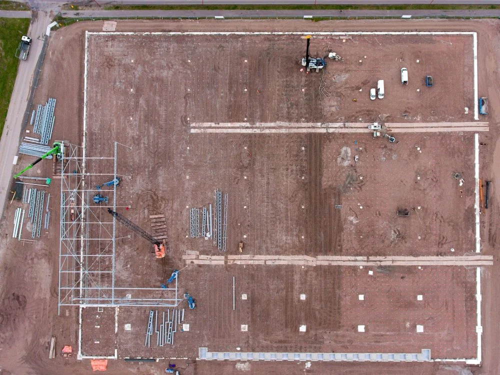
Survey lands for transport, construction and infrastructure purposes.
Monitor the development of construction and site.
Which Equipment Is Primarily Used in Aerial Surveys?
Before starting the procedure, the aerial survey company detects the location they need to survey and also confirms the perfection of the weather for continuing with the process. In general, most experts use planes for this type of survey, but hot air balloons and helicopters are also used in this method. Keep in mind that weather plays a vital role in getting clear and accurate data about the focused area.
Which Are the Specialties of Aerial Surveys?
The surveyors use GPS devices to log with positional fixes , track its position and tag film so that the customers can see where the features can be seen. Examples of such usages are- forestry surveys, fishery surveys, mineral exploration, wildlife surveys, mapping, and community surveys.
How Do the Aerial Survey Services Work?
There are various types of aerial survey products, such as 3D models, thermal maps, 2D and 3D orthomosaic maps and multispectral maps. These products help to gather accurate raw data. After deciding which products should be used in a detailed aerial survey, it is essential to ensure the safety of the workers before starting the investigation process.
Next, the aerial survey services must make a plan about the amount of overlap in images, the flight path of the drone and how to use camera angles. Following these steps, they utilize precision survey tools, including RTK and PPK, to get the reference points on the ground. The Post-Processing Kinematic tool is used to correct the GPS location errors and the Real-Time Kinematic is utilized to measure the area range based.
Don’t Treat Data Accuracy as an Option
Nowadays, most customers want to use aerial surveys because it saves valuable time, provide safety. Remember that the aerial survey cost may vary based on the aerial survey company, location, and other factors. Contact us at Carroll Surveying and Mapping if you want to learn more about this.